The handover results of the 3D topographic survey include:
- Orthogonal image
- Point cloud 3D model
- Topographic map cad file
- WebGis integrates 3D, orthogonal imagery and topographic maps
What is the purpose of a 3D terrain survey by Flycam?
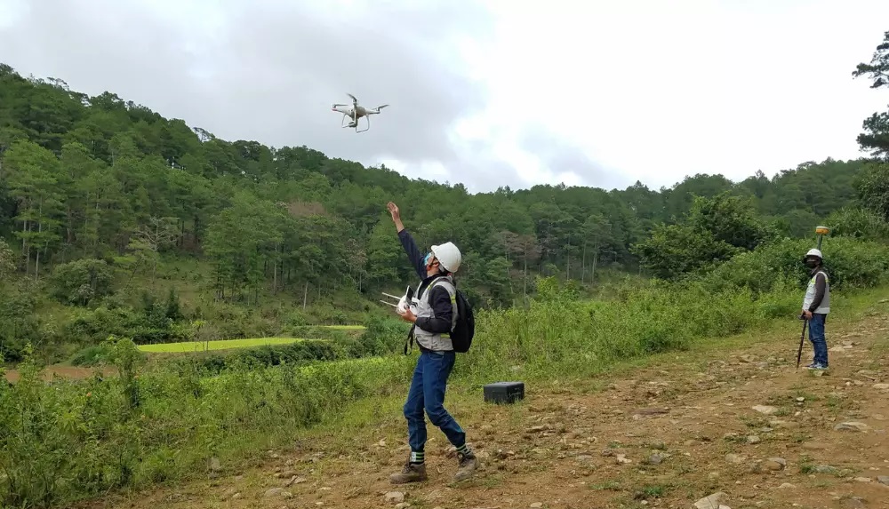
3D scanning UAV and 3D terrain survey by Flycam. You need to invest in a project with a large scale, you need to survey 3D terrain for conceptual design.
The data you need to visualize in front of the jury or convince to call for investment capital or get the project head.
At this time, the results of a topographical survey by Flycam are the most cost-effective but have a lot of benefits.
Software to support 3D design from 3D topographic survey data FLycam
Currently, architects are interested in project design on a highly intuitive 3D platform. Computer technology and equipment and 3D scanning solutions by Flycam have helped architects realize designs on 3D platforms.
The 3D model is scanned from the UAV device, the Flycam has a 1:1 ratio with high accuracy. Record the elevation features of the terrain, topographic features from cliffs, waterfalls, etc. honestly.
Therefore, the architect’s designs are much more detailed, reasonable and beautiful. The following is a list of software that supports 3D design with 3D data using Flycam:
Software REVIT
- Software REVIT
- Civil 3D software
- 3Ds MAX software.
- archicad software
- Autodesk Inventor
- infraworks software
- Sketchup software
- RECAP software to read data and convert data to other software
- …. and lots of other software.
Projects that need to survey 3D terrain with 3D scanning by Flycam
3D terrain survey with 3D scanning by Flycam is highly effective in the following topographic surveys:
- Surveying the topography of high mountains, deep abysses and cliffs.
- 3D topographical survey for landscape design and concept design of farm stay, eco-tourism area.
- Investigate difficult-to-reach areas.
- Topographic survey of 1/2000 scale for detailed planning.
- Topographic survey of golf courses and rocky mountains.
Specifically, our company can provide 3D data ONLINE VISION:
- 3ds max file: 3D topographic model of the survey area.
- FBX file: 3D model C18 topography of the survey area for transfer to different graphics software
- 3D web link: The 3D topographic model of the survey area can be viewed online anywhere, supporting embedding on the customer’s web.
- DEM file: TIFF or Google KMZ digital terrain data used to combine with satellite maps
- File Shp, dxf: Original plot data
- dwg file: Processed plot data for Autocad software to use
- JPEG/TIFF file: Extremely high resolution 2D image of the entire survey area
- 360 web link: The current status of the survey area is observed in the form of 360 Panorama
Why topographic surveying and 3D scanning UAV
- Cost savings
- Quick survey time
- Online data viewing on multiple platforms without the need for an extremely powerful computer.
- Can display data easily when there is an internet connection
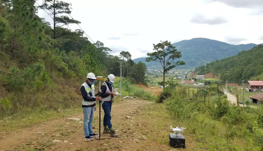
What is 3D scanning of the status quo with a UAV?
State-of-the-art 3D scanning is the use of lidar/laser equipment or equipment that can create 3D models using point clouds. 3D scanning the status quo with a UAV is to create a 3D point cloud model using an unmanned aircraft device such as a flycam…
Scanning 3D status is the collection of data of the survey area including soil shape, features: trees, manholes, electricity poles, houses…. The features are presented in a more intuitive way than traditional topographic surveys.
3D scanning of the current status with Lidar device – 3D laser scanning
3D laser scanning is a non-contact, non-destructive technology that can digitally capture the shape of physical objects using a stream of laser light.
3D laser scanners generate data point clouds from the surface of an object.
The use of 3D scanning of the current status by laser equipment is often applied in buildings, inside buildings, or an area with limited human contact such as factories, drilling rigs, mines… and areas that need to be protected. preserve, embellish…
Laser scanners provide high-precision modeling, sometimes up to mm. For different purposes, devices with different accuracy can be used and of course the cost is also different.
Advantages of topographic survey – 3D terrain scanning
3D surveying by UAV provides a solution for 3D modeling of the entire area from above at a low cost. Thereby, quickly providing data for planning design, concept design.
The 3D terrain survey by Flycam, in addition to providing traditional topographic map data, also provides beautiful corners of the terrain such as waterfalls, hills, rocky beaches, coastlines….
Thereby, the designs come alive, closely following the reality of the terrain. The designer knows the unique features of the existing locality, just needs to renovate or refresh it to make it unique, the highlight of the design project.